

GPR Surveys Across the UK
Locate Buried Services. Plan Your Project with Confidence.
Understand what lies beneath your site before work begins. Intersect Surveys provides Ground Penetrating Radar surveys and underground utility mapping to help contractors, developers and engineers identify potential obstacles and reduce the risk of costly surprises.
NATIONWIDE COVERAGE | PAS 128 SURVEYS AVAILABLE | FREE QUOTATIONS
Who We Work With



What Our Client Says

Henry P
Director

"The whole process was very smooth from start to finish, with excellent communication and customer care. We'll definitely be working with Intersect in the future."
Mathew Bradshaw
11 months ago
I’ve had an excellent experience with Intersect Surveys Ltd. From start to finish, the team was professional, efficient, and easy to communicate with. They responded quickly to my enquiry, explained the process clearly, and delivered high-quality results right on schedule. More
Peter F
Commercial Director
"We've been working with Intersect for several years and have always found them to be reliable, efficient and good value for money. I can honestly recommend them."
Andrew Marshall
11 months ago
I’ve been working with intersect and Alex’s team for a few years now and after multiple gprs company’s I wouldn’t hesitate to recommend them! The attention to detail is second to none! The company you need to use for reassurance when it comes to utility avoidance.
Robert M
Site Manager
"The in-depth knowledge which Intersect Surveys have in their field is second to none. They're efficient, helpful and in my opinion, excellent value. "
Grace Sklopan
11 months ago
I have used intersect surveys twice and I can confidently say I will never use any other company. I always felt taken care of and that the job was done right!
Michael Ward
11 months ago
I’ve worked with Alex’s team for a couple of years now and I would definitely recommend them.
Amanda Nicholsan
a year ago
Great service, provided all the data I needed, and delivered it on time. Would definitely recommend!

Why Choose Intersect for Your GPR Survey?
Your survey should give you information your team can use to make decisions. We combine surveying experience with an understanding of construction and engineering projects to help you plan your next steps.

Experienced GPR Surveyors
Work with a team experienced in investigating underground services and subsurface features across construction, development and infrastructure sites.

A Survey Built Around Your Project
We consider your proposed works, survey area and required information before recommending the scope and methods.

PAS 128 Surveys Where Required
If your client, engineer or project specification requires PAS 128, we’ll discuss the appropriate survey scope and deliverables before work starts.

Clear Information for Your Team
Receive drawings and reporting in agreed formats, helping you incorporate the findings into your designs, site plans and project discussions.

Nationwide Support
From individual development plots to larger infrastructure projects, we support clients across the UK.
Need Your Utility Survey to Meet PAS 128?
If you’ve been asked for a PAS 128 survey, let us know when you enquire.
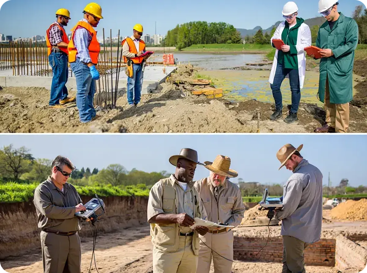
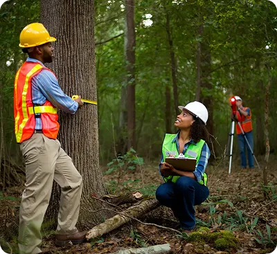
GPR is one of the technologies used to investigate underground features. PAS 128 sets requirements for how underground utility surveys are planned, carried out and reported.
A PAS 128 Type B detection survey combines utility records, site reconnaissance, GPR and electromagnetic locating, with mapping and reporting that communicates the quality of the findings.
We’ll help you establish the scope your project needs and include it in your quotation.
Not sure whether PAS 128 is required? Send us your project brief or survey specification and we’ll help you understand what to request.
Identify Underground Constraints Before Work Begins
An unexpected pipe, cable or buried obstruction can interrupt work, damage services and lead to expensive changes.
A GPR and utility survey helps your team:
Investigate buried services before excavation.
Identify potential conflicts with proposed designs.
Plan groundworks using better site information.
Reduce the risk of avoidable disruption and redesign.
Identify areas that may need further investigation.
Whether you’re preparing for a development, installing new services or planning excavation, understanding underground conditions helps you make better decisions.
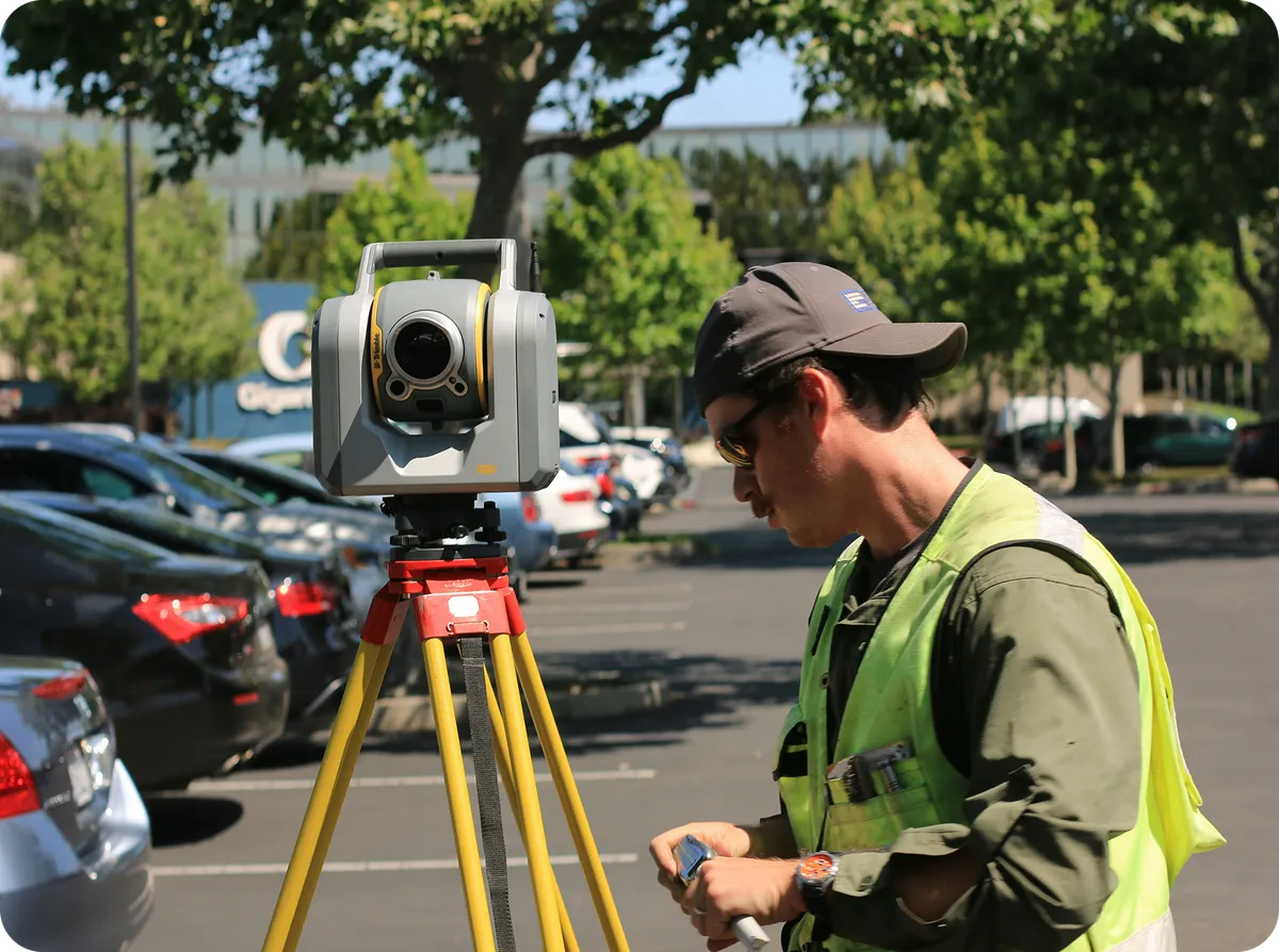
What Can a GPR Survey Help Detect?
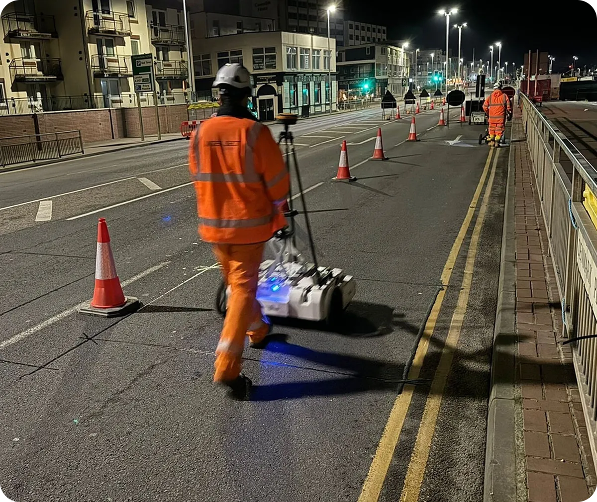
Ground Penetrating Radar can help investigate metallic and non-metallic utilities and other buried features.
Depending on the site and survey scope, this can include:
Water pipes and drainage.
Electricity cables and service routes.
Gas pipes.
Telecommunications ducts.
Buried structures, obstructions and possible voids.
For utility mapping, we combine GPR with complementary methods such as electromagnetic locating to build a more useful picture of the site.
Detection depends on ground conditions, the material and depth of the target, and access to the survey area. We explain relevant limitations so your team understands how to use the findings.
Arrange Your Survey in Three Simple Steps

Tell Us About Your Project
Send your site location, survey boundary and proposed works. Include a site plan if available, along with your required completion date.

Agree the Scope and Programme
We’ll discuss your requirements, access arrangements and required outputs so you know what the survey will cover.

Receive Information to Support Your Next Steps
Following the agreed survey work, we provide mapping and reporting to help your team assess underground constraints and plan the works ahead.
Your GPR Survey Questions Answered
What is a GPR survey?
A Ground Penetrating Radar survey uses radar signals to investigate features beneath the surface without excavating the survey area. Surveyors interpret the data to identify potential utilities, structures and other features relevant to the project.
Is a GPR survey the same as a PAS 128 survey?
They are related, but different. GPR is a detection technology. PAS 128 is a specification for underground utility surveying. GPR forms part of a PAS 128 detection survey alongside other methods and information.
Can I request a PAS 128-compliant survey?
Yes. Select this when requesting your quote, or send us your survey specification. We’ll agree the appropriate scope before the work begins.
How much does a GPR survey cost?
The price depends on the survey area, site conditions, access, required outputs and whether a PAS 128-compliant utility survey is needed. Send us your site details for a quotation.
How quickly can I receive the results?
Tell us when you need the survey results. We’ll review your requirements and confirm availability, the anticipated survey duration and when the agreed outputs can be delivered.
Will GPR find every underground service?
No survey can guarantee that every service will be detected. Ground conditions and the characteristics of buried features affect detection. Survey findings should be used alongside the stated limitations, appropriate verification and safe excavation procedures.
Can you also provide a topographical survey?
Yes. We can discuss combining utility mapping with a topographical survey to give your team information about both surface features and underground services.
Get a Quote for Your GPR Survey
Tell us where your site is, what you’re planning and when you need the results.
Whether you need GPR investigation, underground utility mapping or a PAS 128-compliant survey, we’ll help you establish the right scope.
Let’s Get Your
Survey Quote Started
Full Name *
Email Address *
Phone *
Tell Us About Your Site
Where is the site located?
What do you need the survey for?
Approximately how large is the area you need surveyed?
When do you need the survey results?

Intersect Surveys is one of the UK's leading survey providers. We offer services from utility detection, survey and engineering and monitoring solutions across a range of sectors.